Day Three - Exploring South Iceland
Where we make our way from Vik to Skaftafell, in Vatnajokull National Park.
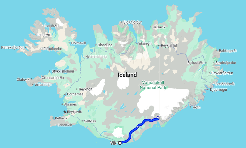
Our Stops: Vik, Hjörleifshöfði trail, Gigjaga - Yoda Cave, and spending the night at Skaftafell campsite
Vik
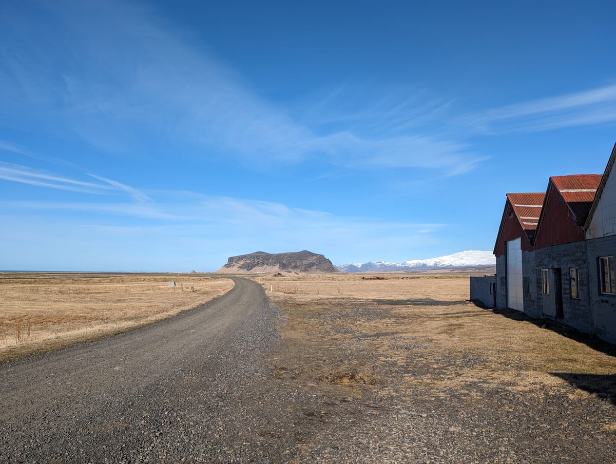
Our first stop following a very scenic drive was the picturesque town of Vik, Iceland, located on the island's southern tip. Vik felt like a very up-and-coming town. We spotted many new builds in construction, probably fuelled in large part by the growing tourism in the region. According to this article in the Iceland Review, the tourist boom has meant increased hiring, with most new hires being foreign citizens - up to 60% of residents in one municipality in Vik are foreign-born. A boom in tourism can come with hardships for the community as well, such as fewer housing and accommodations as they are converted into short-stay apartments and Airbnbs to cater to tourists.
South Iceland tends to be a stop on most itineraries to Iceland as it is relatively close to the airport and therefore easier to drive to than the western parts of the country which require additional days of travel. There are many tourist attractions nearby, highlights of which you can read about in my summary of Day Two of Our Ring Road Roadtrip. In a shopping center popular with tourists and dominated by Icewear, a cold weather apparel store, I came across the delightful comic books by the Icelandic comedian Dagsson - they really appealed to our appreciation of dark humour!

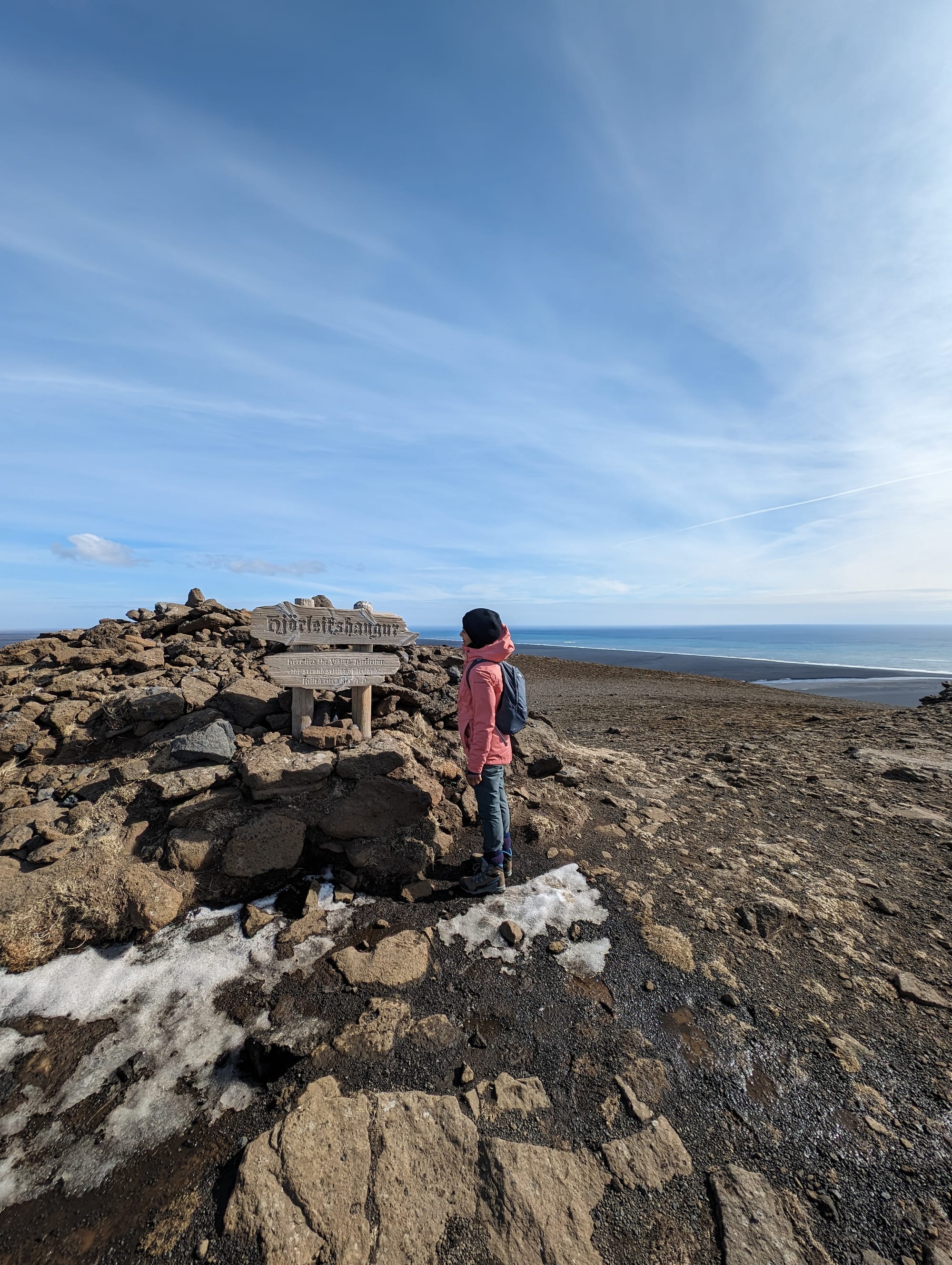
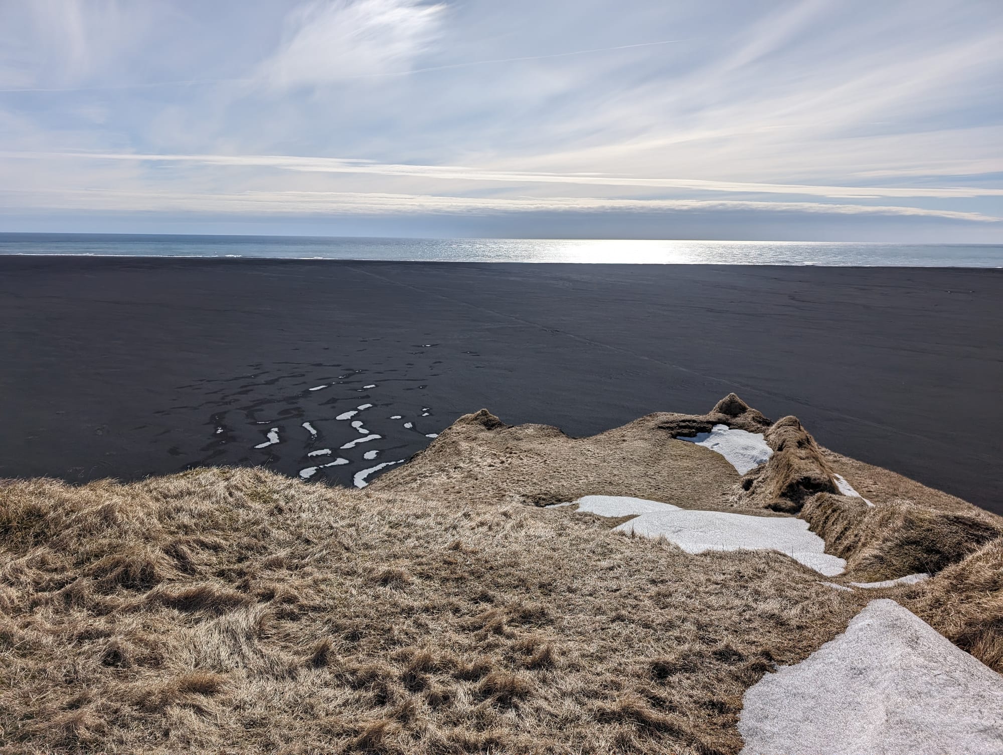
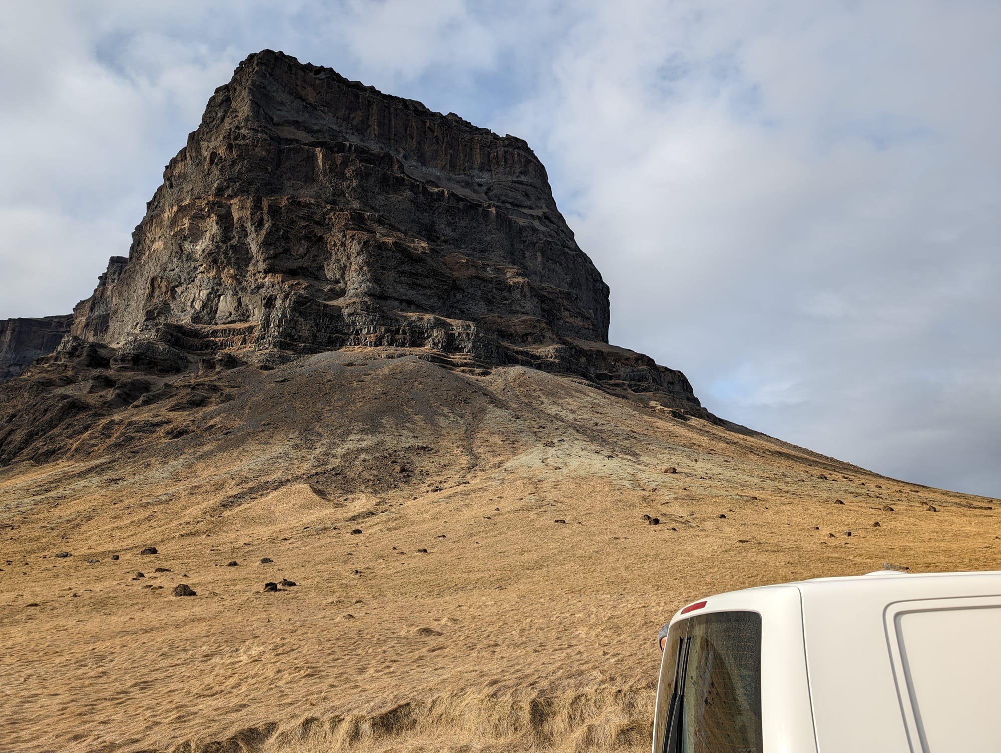
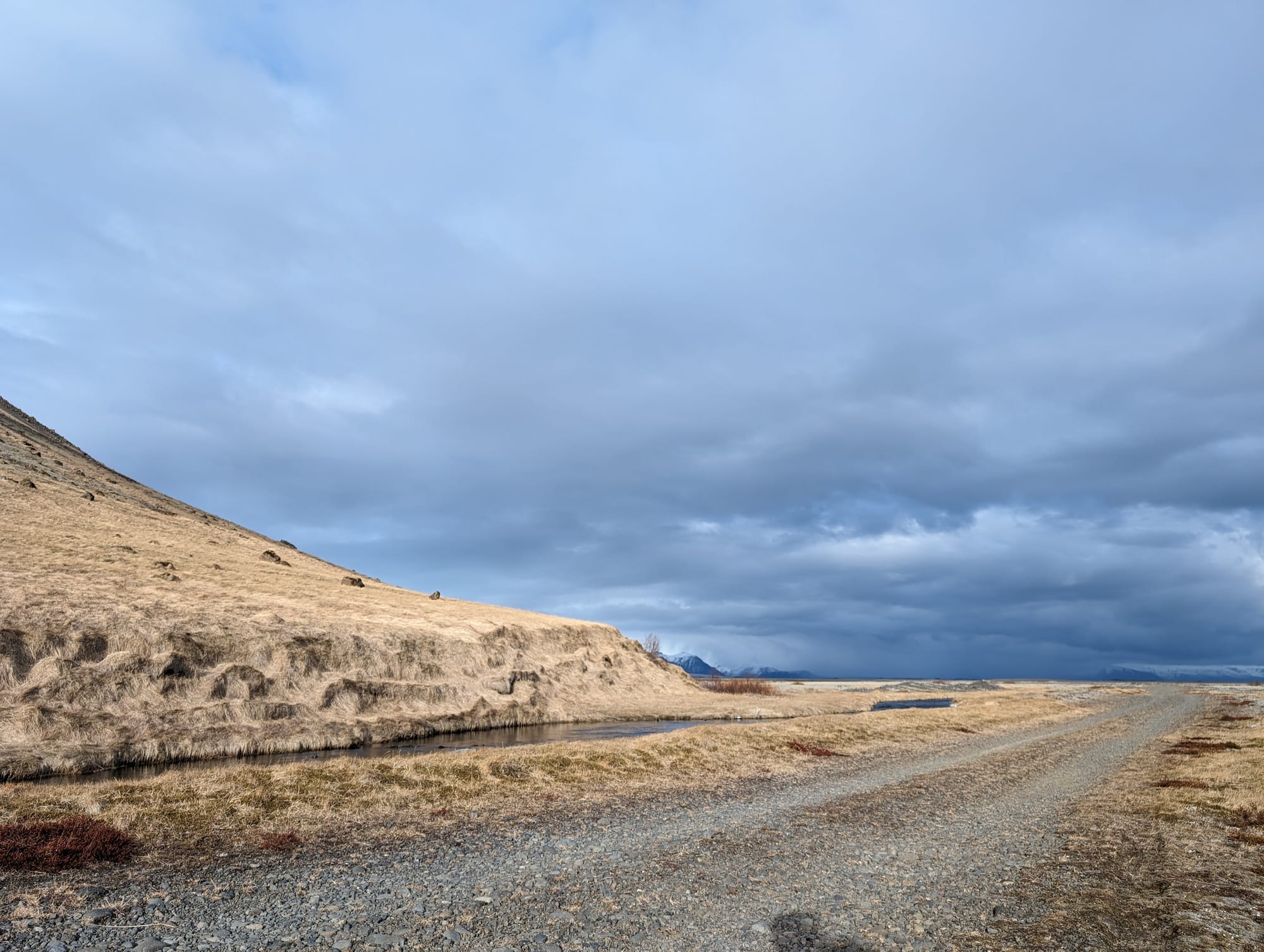
Hjörleifshöfði:(90min hike) - A short drive away from Vik is the trailhead for Hjorloifshofoi, which is essentially a tuya, ie. a unique flat-faced cliff or rock structure / mountain that was formed by volcanic activity through an ice or glacial sheet. The emerging study of this phenomenon is called 'glaciovolcanism' and the term 'tuya' was coined by a volcanologist researching in northwestern B.C. The characteristic geomorphological structures are rare and can be found only in regions with both volcanic and ice activity.
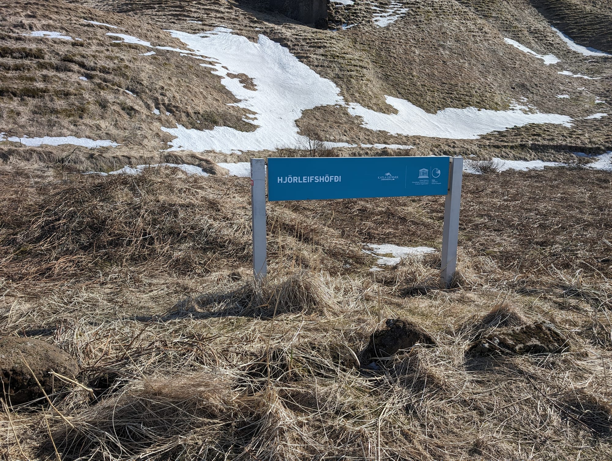
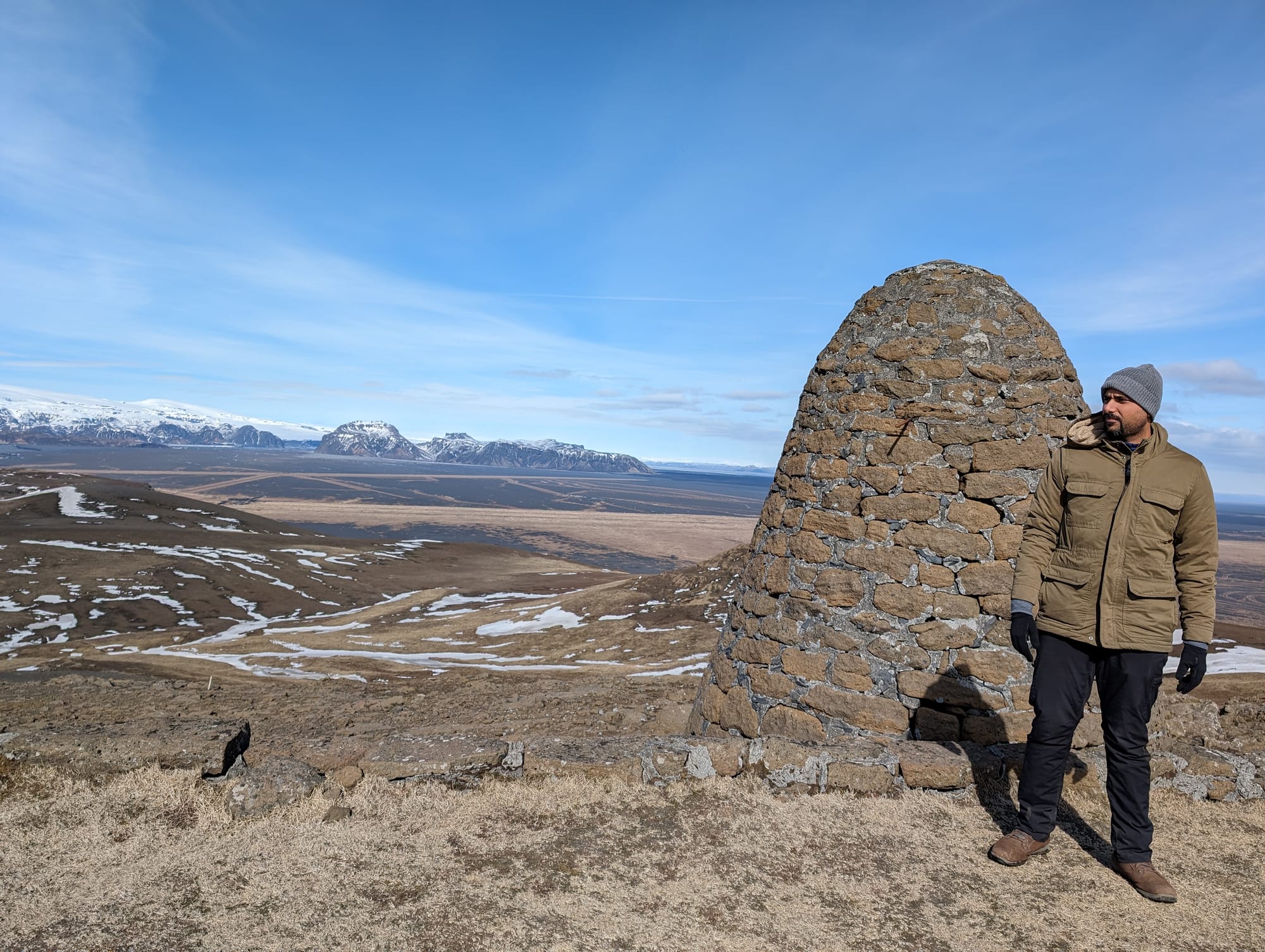
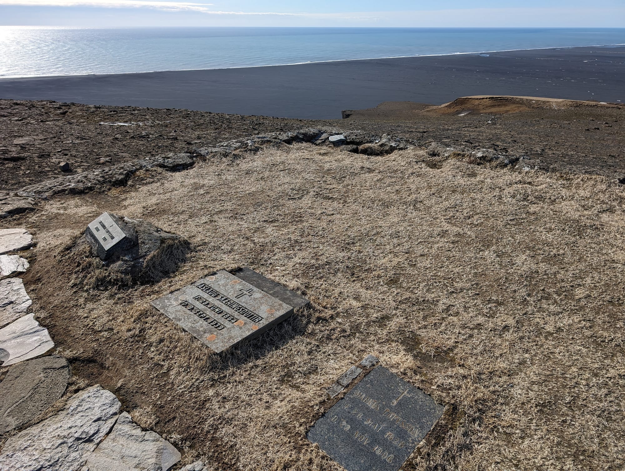
The name of this particular cliff comes from Hjörleifur Hróðmarsson, who was a Viking settler and a brother to Iceland's first known permanent settler. It is said that Hjörleifur was murdered soon after their arrival to the island by his Irish slaves, who he had taken in Ireland. On Hjörleifshöfði lies a monument for Hjörleifur. it is said that his brother, Ingólfr, avenged his death and years later, his brother's remains were moved to the top of the cliff. The remains are marked by a cairn which you can see when you hike up to the top of the cliff. The historical stories and mythologies are fascinating: you can read more about them on the wonderful blog: A Guide to Iceland.
Because I love history, myths and stories, I really looked forward to and enjoyed the hike. The hike is a loop, and I would rate it of medium intensity: it took us an hour and 30 minutes to complete. There is a relatively steep climb at the start, and because it was early April, the ground was slightly icy, muddy and wet - we had our snowboots on, but were not wearing crampons.
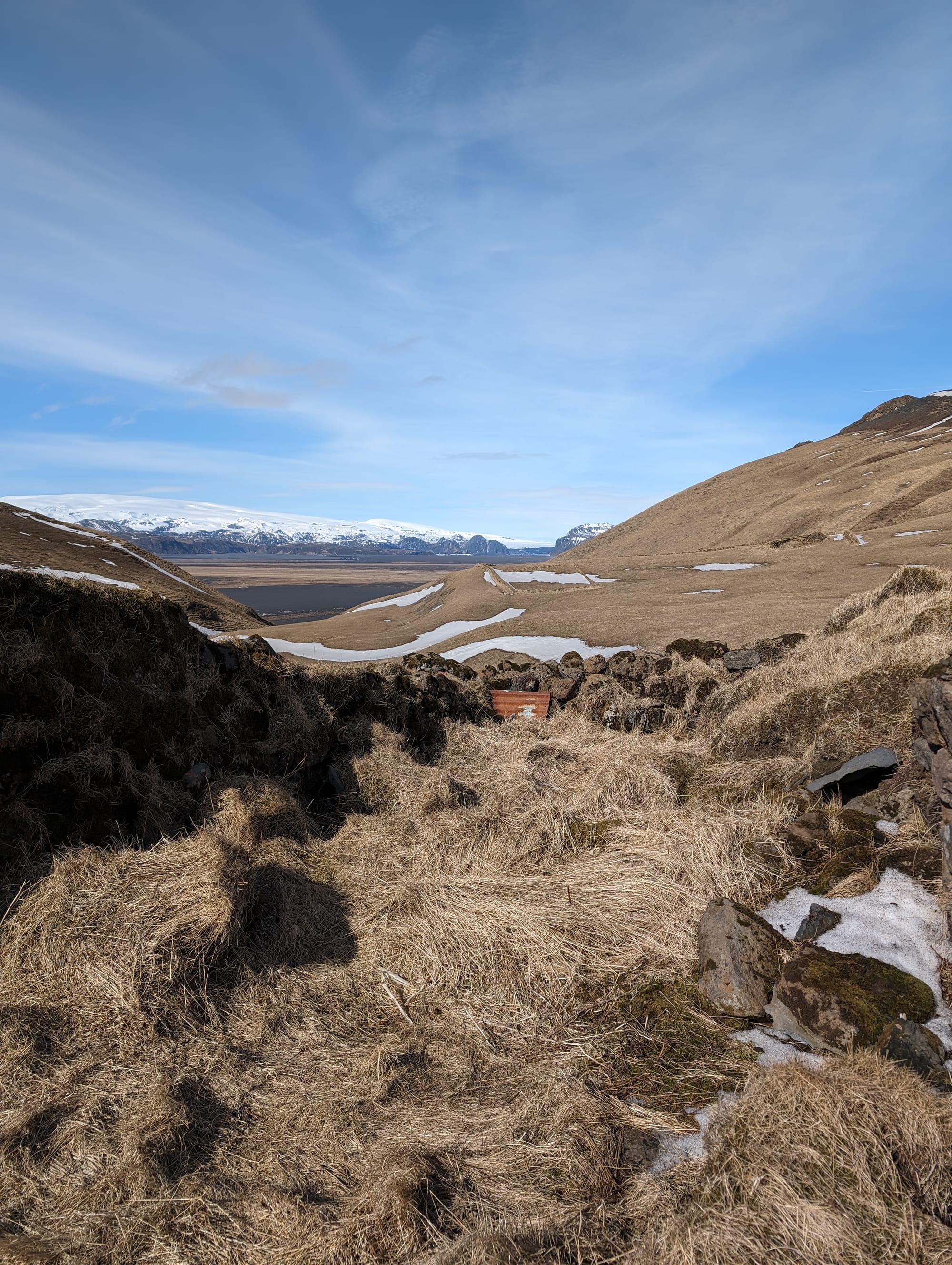
There is an otherwordly quality to any Icelandic hike, perhaps because of the sheer absence of trees and the growth of grass that, in the month we travelled, gave a yellow glow to everything around us. This was doubled as we were the only two people on the hike - until we headed back down, we didn't see another person.
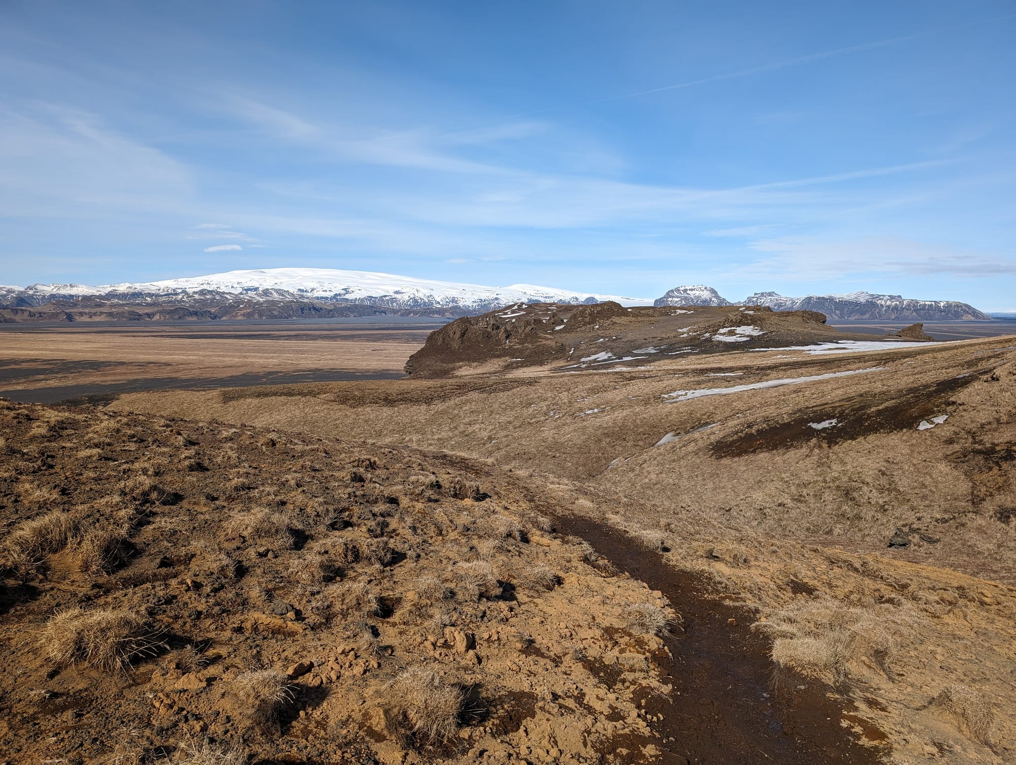
Reaching the top and seeing the markings of the grave, the names of the family members, the cairn and mound, were an exhilarating payoff - not to mention the beautiful landscape surrounding everything.
The way down the trail, on the other side of the loop, was even more icy and muddy, and I trekked down very cautiously so as not to slip and fall in the mud / ice. Halfway down the other side of the loop, you will come across the ruins of a settlement that you can explore.
We got a bit turned around as we reached the bottom of the cliff, but made it back to the parking lot in one piece!
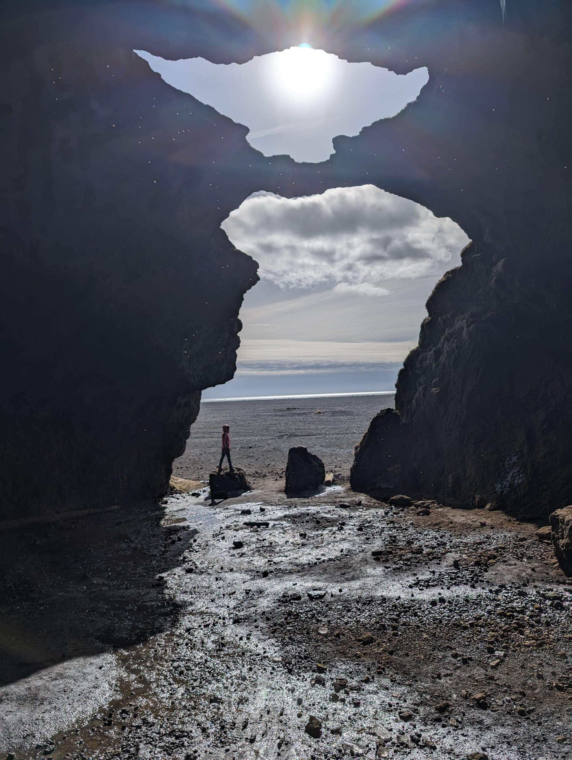
The Gigjaga - Yoda Cave: It's a short drive from the Hjörleifshöfði trailhead parking lot to the Yoda Cave, so named because of the close resemblance to the silhouette of the Star Wars character.
It is a large cavern on the beach and easy to walk into. There were many large icicles melting, and/or falling, from the top of the cave - as it felt dangerous, we didn't linger here but snapped some pictures quickly.
Then...we got lost
Okay, we didn't get lost, but. We made lunch in the van, and then carried on, without any more planned stops, to Skaftafell. Aman, who was driving, noticed that a 'scenic drive' to Skaftafell was mapped onto the van GPS. He decided to turn in.
We decided to continue driving, expecting to be able to join the Ring Road soon. We had been driving for about 15 minutes before realizing that we were getting farther away from the Ring Road, not to mention that the 'scenic drive' we were on continued to be a gravel road. We kept being asked to turn onto even more dodgy-looking gravelly roads by the GPS, and being taken further away from the Ring Road with mean clouds brewing on the horizon – at one point there was barely any room to turn our van. We finally turned in the opposite direction and were able to make it back to the Ring Road through a scenic view parking lot (marked Lomagnupur Scenic Spot) that luckily didn’t have any big rocks blocking it off from the gravel road we were on); Phew! Learnt our lesson not to listen solely to the GPS again!
By the time we arrived at the Skaftafell camspite, it was raining and blowing snow.
Skaftafell Camp: Our first campsite, we found Skaftafell to be lovely with good facilities, one set of laundry machines, clean showers with hot water though no communal kitchen facility. We met a family from Scotland who had been caught up in the bad weather near Stokksnes for a few days, (incidentally on the day that we arrived in Iceland - they had arrived a few days before and had begun the roadtrip a few days earlier than us); due to the windstorm, they'd been evacuated from their campsite (apparently many van windows had exploded as a result of the high winds) and now were turning around to go back to Reykjavik to catch their flight home instead of completing the Ring Road as they had originally planned. I think we were lucky not to get caught up in bad weather during our trip.
Stops we couldn't get to: Fjadragljufur Canyon (too tired from first hike)
My tip if you have one day for both stops would be: if you prefer scenic hikes rather than historic ones, I would favour Fjadragljufur over Hjörleifshöfði as it may be difficult to get to both on the same day.
For more on our Iceland trip:
- An Overview of our Iceland Ring Road Trip with costs and a general itinerary
- Day 1 of our Ring Road Drive
- Day 2 of our Ring Road Drive